Last Tuesday I made my first trip of the year to the South Prairie area, in the Gifford Pinchot NF in eastern Skamania County, Washington. I try to get up there at least a few times a year because not only is it fairly easily accessible (a two hour drive on mostly paved roads), it also has a tremendously diverse biota, being in the transition zone between the rainy west and rain shadowed east sides of the Cascades. The area that FS 66 traverses as it winds the 14 miles from Willard to South Prairie is also transitional, from the biota influenced by proximity to the Columbia River Gorge to more montane plants and animals, and it parallels a huge, not-that-ancient (less than 10,000 years old, still wet behind the ears in geologic terms) lava flow called, prosaically, the Big Lava Bed, a gnarly and shoe destroying area with its own quirks of ecology, which I haven’t spent nearly enough time exploring.
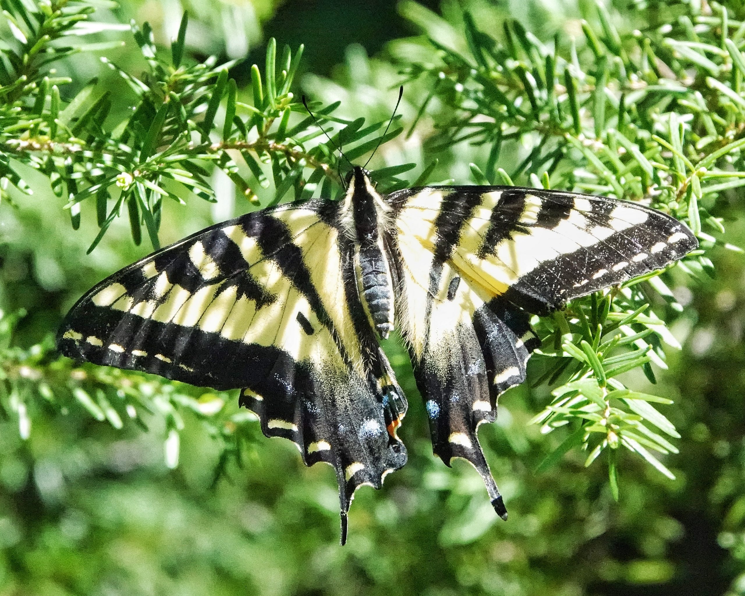
Just a few miles up FS 66 is a large roadside patch of Apocynum androsaemifolium (spreading dog bane). I often stop to examine this patch for insect activity when it’s blooming, as it was on Tuesday, but because it was still cool (58⁰) the only things I found there were a Papilio eurymedon (Pale Tiger Swallowtails) and a Limenitis lorquini (Lorquin’s Admiral), though I was able to confirm which dog bane they were. I encountered 6-7 deer in the first few miles of FS 66 (an unusually large number for mid-morning of a sunny day), as it gradually goes from about 1200’ elevation to 2000’. Until the elevation gets to be about 2500’ there are almost as many maples, alders, dogwoods, and other deciduous trees as there are conifers. It is beautiful country, and I was grateful to the deer for making me slow down and enjoy it, though I was still impatient to reach my first destination.
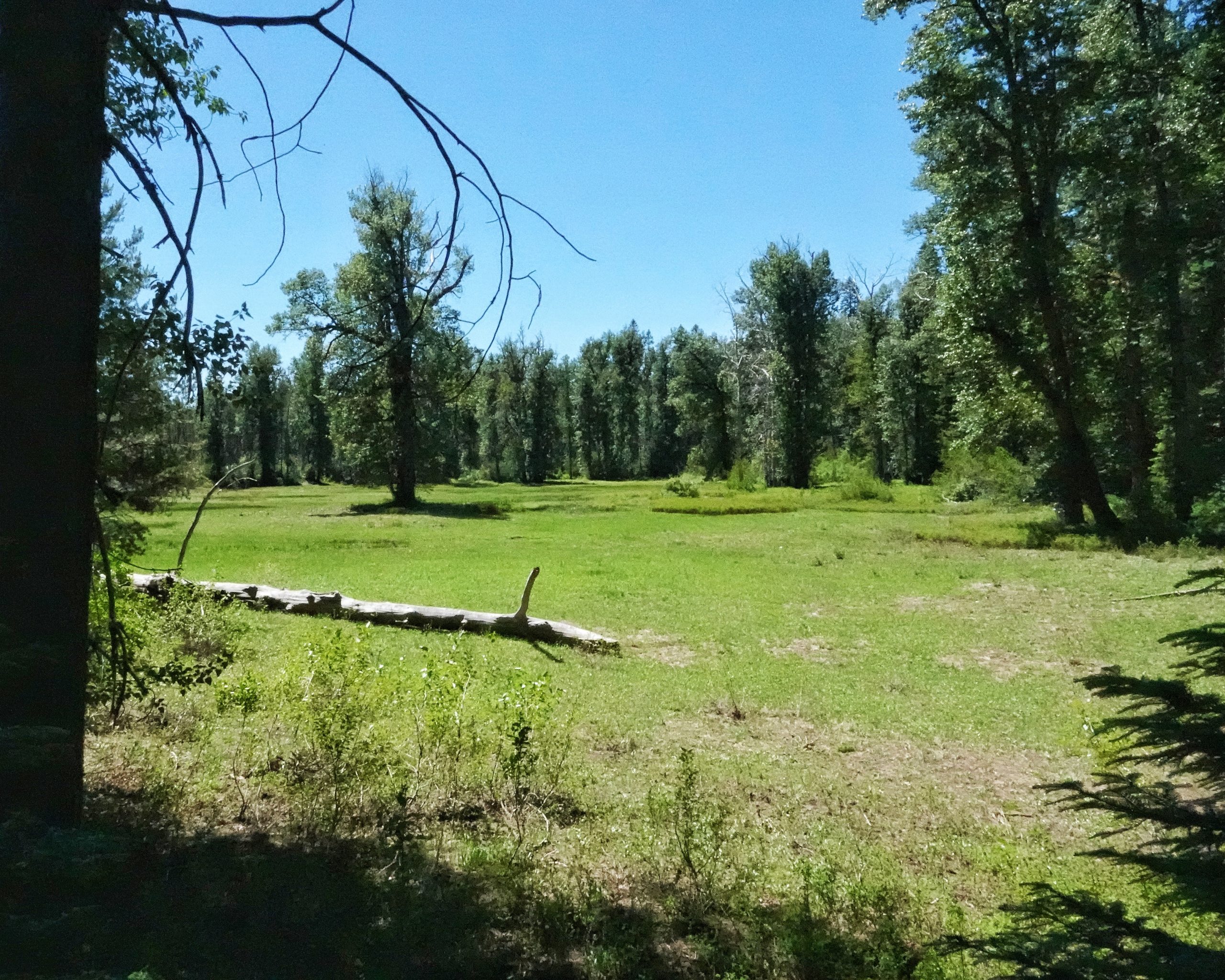
A couple miles before South Prairie the pavement ends, and the road is badly potholed for a ways. But it gets better and 5 minutes later I was at South Prairie Lake, where I took the left onto a much worse road, one that I can walk faster than I’m willing to drive. The character of the land changes again in this area, with South Prairie, a wet meadow (which is actually mostly underwater during the spring runoff, because ice forms over the winter in the lava tubes through which it drains, and until they finally melt out all of that runoff just keeps pooling in the prairie) that is dotted and bordered by cottonwoods and willows, on the left, and a sloping hillside of mostly conifers to the right. It always seems that I should see large mammals in the meadow, but so far I never have.
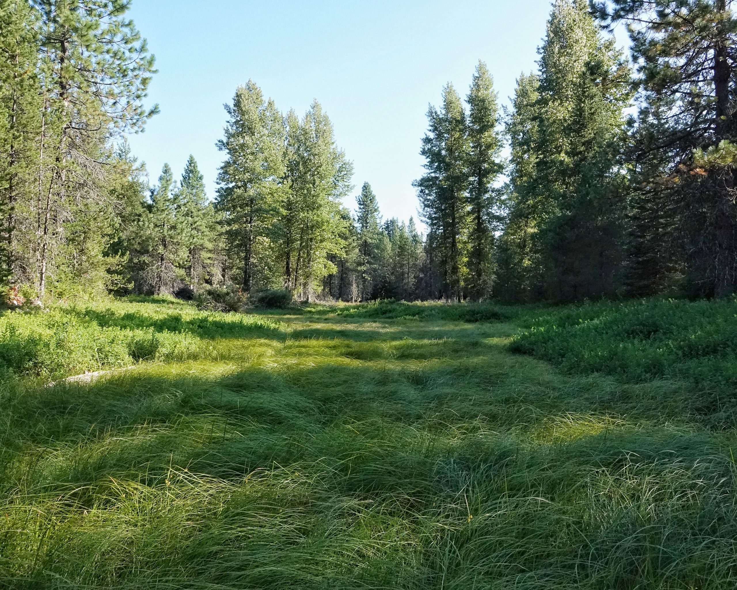
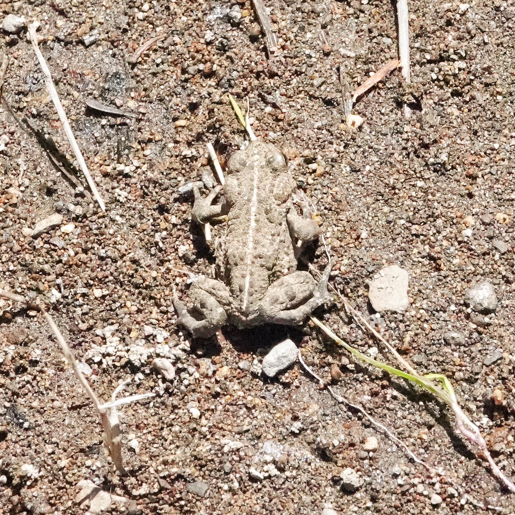
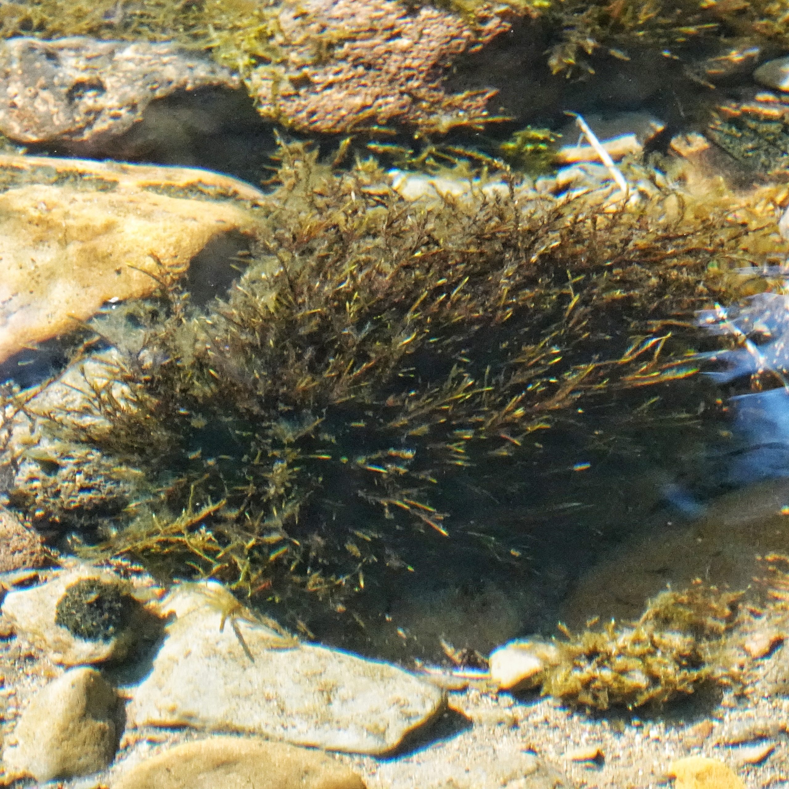
After a tedious 2 miles I cross the bridge over Lost Creek, so called because it just disappears about a mile below the bridge. I’ve followed this not insignificant, up to 40’ wide creek, downstream to where it just sinks into the sand. I don’t know how much farther it goes during snowmelt (and there are dry channels past where the water disappears), or whether the swelling waters of South Prairie ever meet it, but it’s kind of an eerie feeling to see a watercourse just end. My destination that day lay upstream of the bridge, so I drove the quarter mile to the cutoff and headed up the narrow, but surprisingly smooth, sidetrack, which eventually ends at the creek. I knew there would be mosquitoes, so I deeted up and headed for another of my favorite patches of dogbane. Which was not in bloom. This was disappointing, but not really surprising, since I was at a little over 3000’ elevation, and the vanilla leaf (Achlys triphylla), which is long past it’s prime at lower elevations, was just coming on strong here.
Far more distressing than the lack of dogbane were the masses of voracious mosquitoes. Like I said, I expected some mosquitoes, but my application of repellent had been somewhat perfunctory because by late June their numbers have historically been in decline, because the wet meadows in the area have more or less dried up by then. But not this year, and I saw standing water in places that I’ve never before seen wet. So I legged it back to the van and really doused myself with bugdope, but for all the good it did it seemed like the mosquitoes viewed it as a condiment.
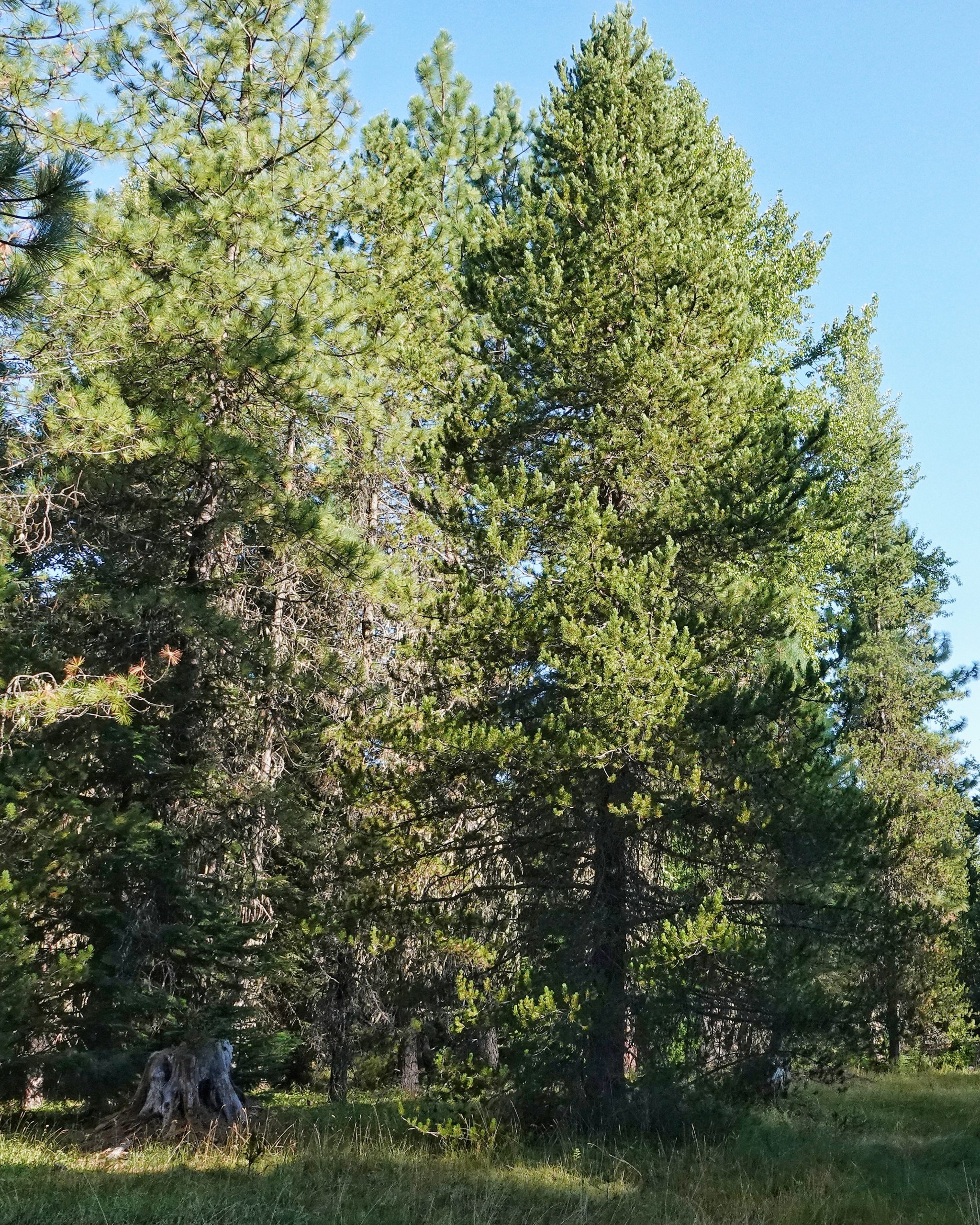
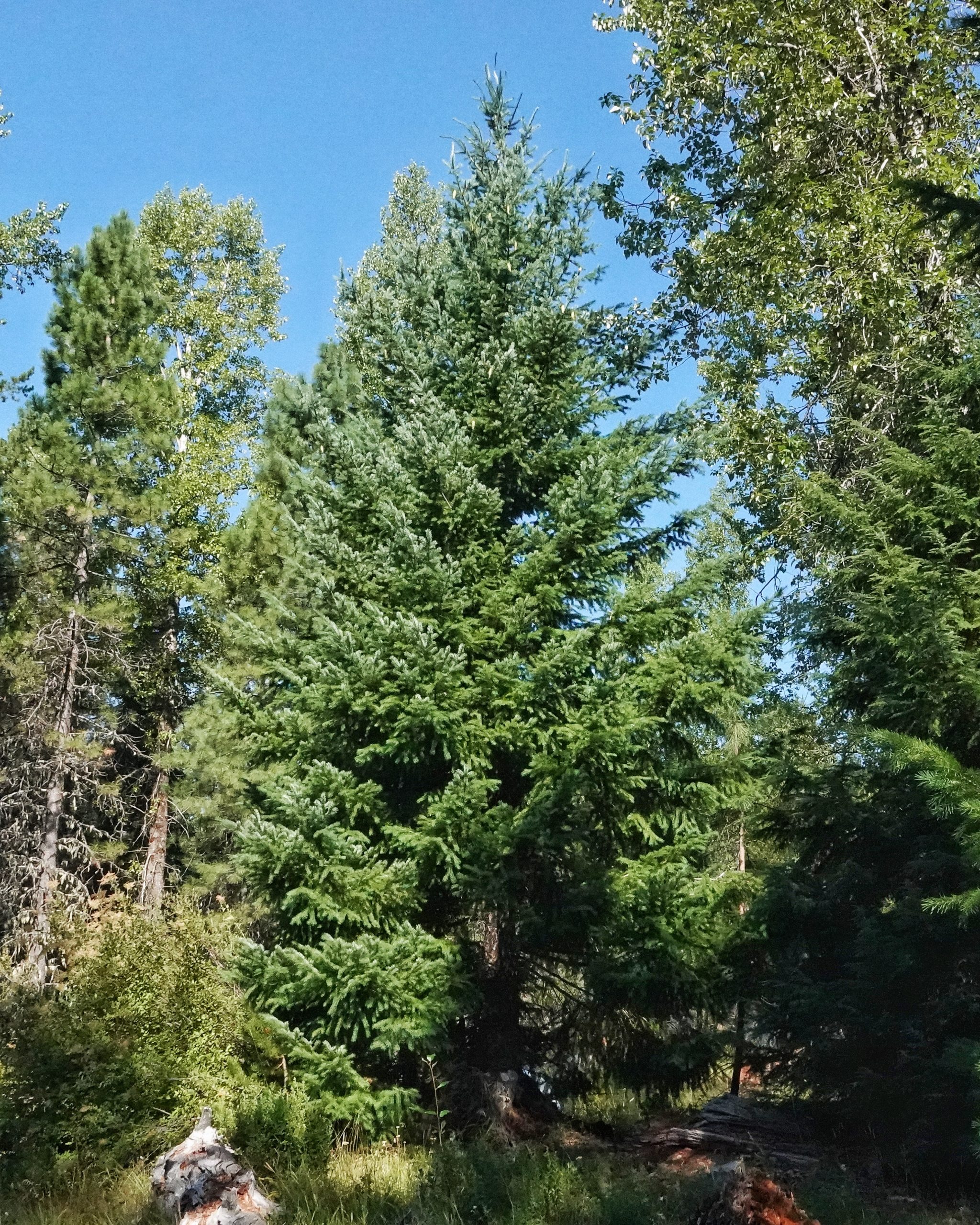
This is a beautiful and interesting area, with the creek purling along on the margin and at least 8 different species of conifers (camping here last September was the event that sent me on a quest to finally learn my conifers), as well as a bunch of interesting deciduous trees, shrubs, and wildflowers, and it can be a wonderful spot for butterflies. And I stuck it out for a few hours because as long as I was moving the mosquitoes were tolerable, although whenever I stopped to photograph anything they mobbed me, and I almost immediately realized I didn’t have the self discipline to sit on my three-legged stool and maintain focus to compare the anatomy of a given plant to the couplets in ‘Flora of the Pacific Northwest’.
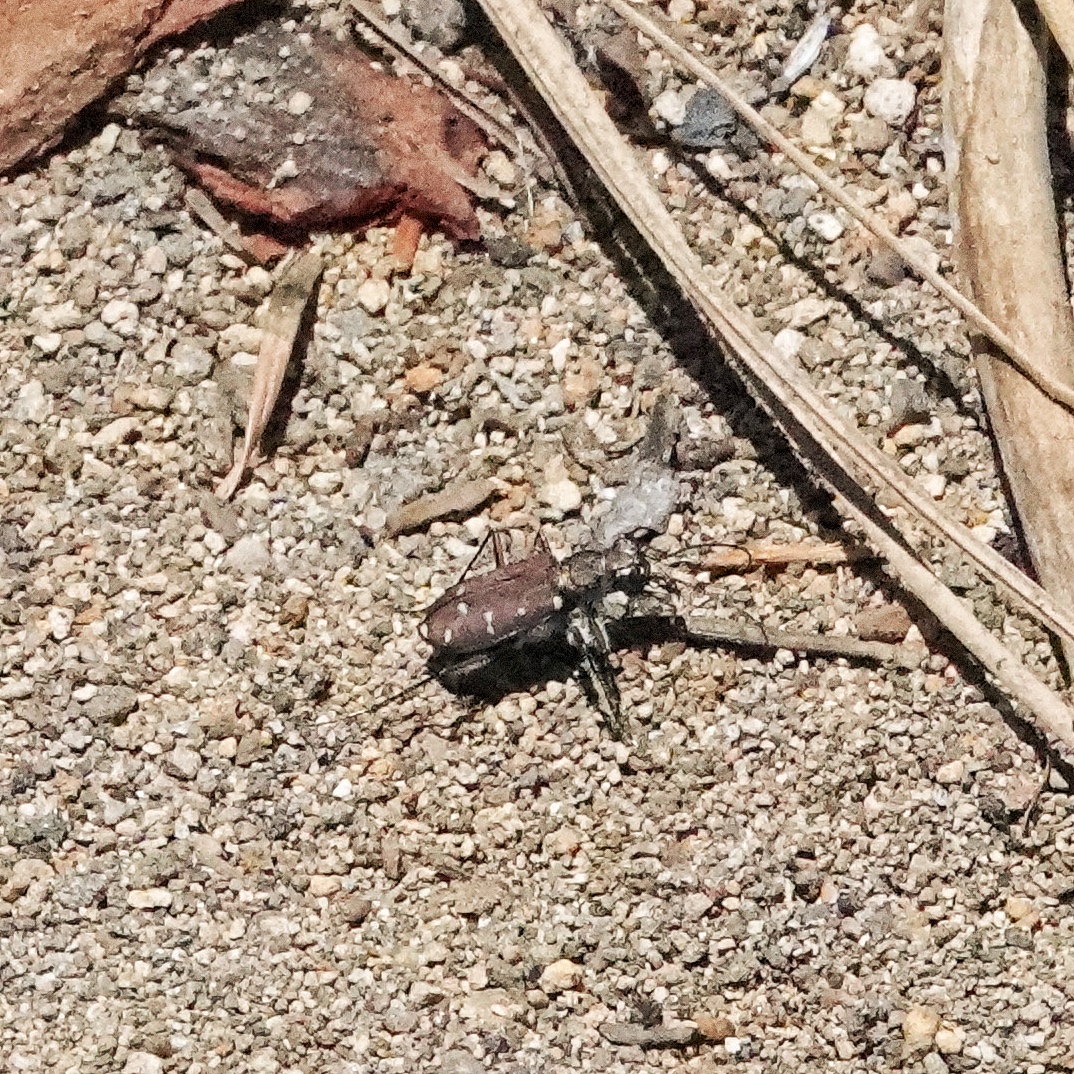
But eventually I threw in the towel. I found some neat bugs and some interesting wildflowers, and hopefully I got diagnostic photos of them so I can write about them in future profiles. But it finally ceased being fun (I even dreamt that night about the mist of mosquitoes that would gather under the brim of my visor at times, and I found dozens of itchy welts that evening, although some of those were from the second part of the trip) and I packed up and moved to another spot, which I’ll discuss in another blog. This experience didn’t sour me on that spot, and I’ll be back there again in another few weeks.
Nice format for this entry —focusing on the things at a particular location. Thanks.
Thanks, Michael!